Carte de l'itinéraire
GR®78 Pyrenees Foothills — overview
Capestang › Col d'Oihantzarre
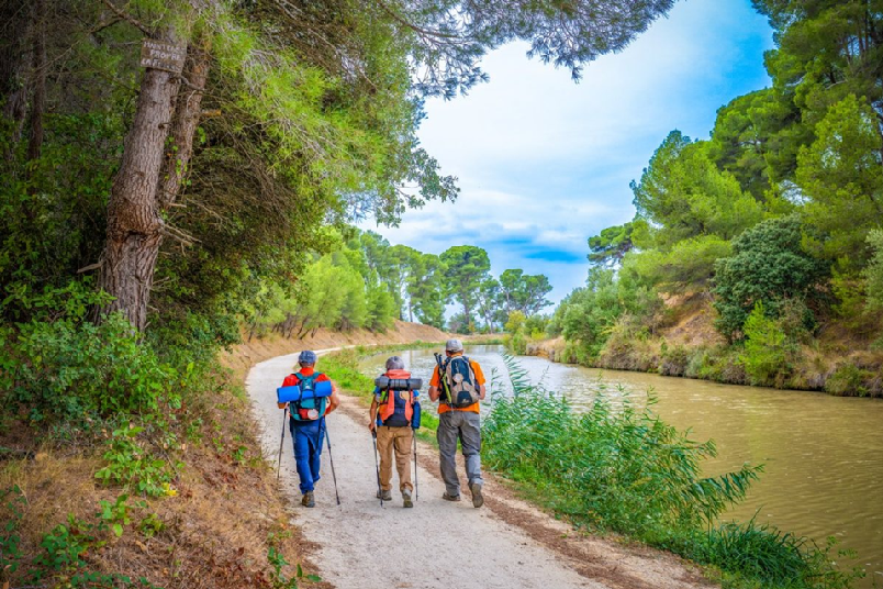
The GR®78 Pyrenees Foothills Route is a pilgrimage itinerary that follows the foothills of the Pyrenees for 594 km, from the Mediterranean at Capestang to the Col d'Oihantzarre in the Basque Country. Less travelled than the Via Podiensis or the Camino Francés, it offers a wild and authentic crossing of southern France.
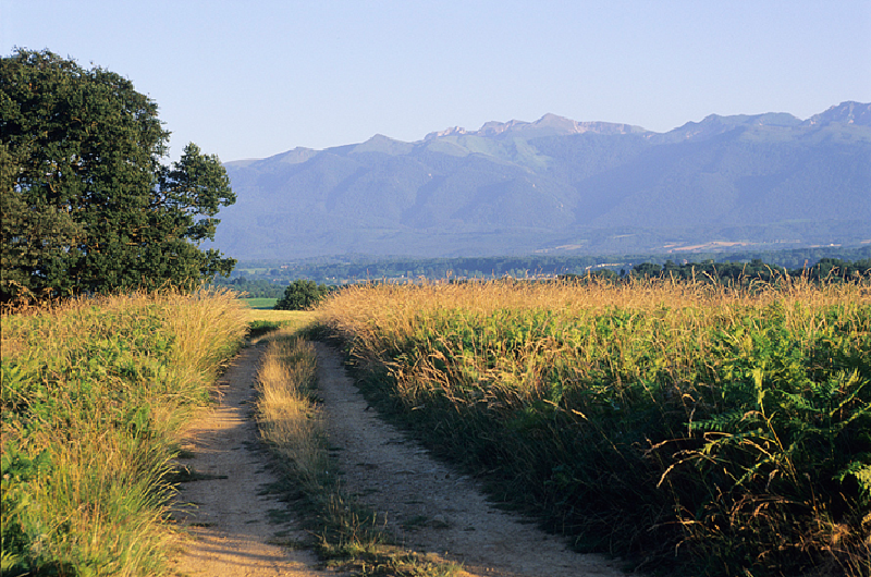
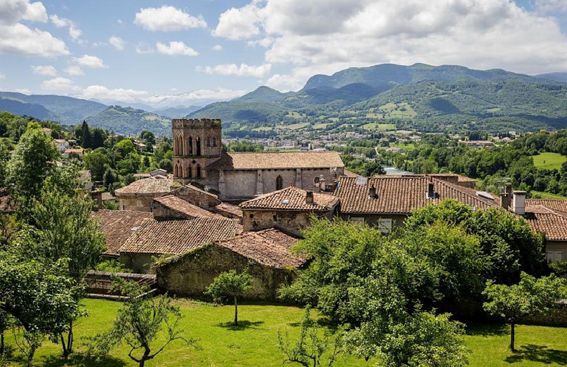
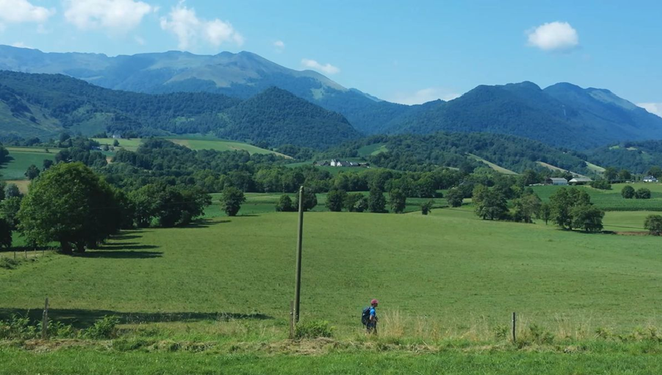
The route crosses the vineyards of the Minervois and the Cathar cities, the hills of Ariège and Comminges, before reaching the foothills of the Hautes-Pyrénées and the green valleys of the Basque Country. The Pyrenean terrain makes several central stages particularly demanding, with significant climbs and spectacular mountain scenery.
This guide covers the 24 complete stages with interactive maps, elevation profiles and practical information. At Col d'Oihantzarre, the route joins the Via Podiensis (GR65) for the final kilometres to Saint-Jean-Pied-de-Port and the crossing of the Pyrenees.